G
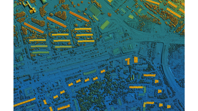
eospatial data, also known as geographic information or spatial data, refers to information tied to specific locations on Earth’s surface. It encompasses geographic coordinates (e.g., latitude and longitude) and can include additional details like elevation, land use, population density, and more. Geospatial data can be represented through maps, satellite images, or spatial databases, making it an invaluable resource for diverse fields and applications.
Here are top 10 public geospatial data sources
-
- OpenStreetMap (OSM): Often dubbed the “Wikipedia of Maps,” OSM is a collaborative platform offering free, editable, and detailed global maps. It’s a go-to resource for geographic data and is widely used in various applications.
- NASA Earthdata: NASA provides access to an extensive collection of geospatial data related to Earth’s climate, land, and atmosphere. This includes satellite imagery, climate data, and environmental information.
- USGS Earth Explorer: The United States Geological Survey (USGS) Earth Explorer offers access to a vast repository of remote sensing data, including satellite and aerial imagery, topographic maps, and geological information.
- Global Biodiversity Information Facility (GBIF): GBIF is a global network that provides access to biodiversity data from around the world. It’s indispensable for researchers and conservationists studying Earth’s biodiversity.
- Natural Earth: Natural Earth is a collaborative project offering free, high-quality geospatial data for global mapping and cartographic purposes. It covers cultural, physical, and political features.
- World Bank Data: The World Bank offers geospatial data related to global development, including information on infrastructure, demographics, and socioeconomic indicators.
- United Nations Geospatial Information Section: The UN provides geospatial data and maps to support various initiatives, including humanitarian efforts and sustainable development goals.
- European Space Agency (ESA) Earth Observation Data: ESA provides access to Earth observation data from satellites, which can be used for environmental monitoring, disaster management, and more.
- National Oceanic and Atmospheric Administration (NOAA) Data: NOAA offers a wide range of geospatial data related to weather, climate, oceanography, and environmental science, crucial for weather forecasting and climate research.
- Federal Aviation Administration (FAA) Airports and Runways Data: If you’re interested in aviation-related geospatial data, the FAA provides information about airports and runways across the United States.


